related blog
%20(3).svg)
Innovation
20
Top 8 Tools for Construction Site Documentation
Explore essential tools for construction site documentation to improve project management, compliance, and efficiency while reducing rework and disputes.

Construction documentation is crucial for managing projects, avoiding disputes, and ensuring compliance. Poor documentation leads to 52% of rework, wasted time, and legal risks. Digital tools solve these problems by centralizing data, improving collaboration, and saving time.
Here are the top 8 tools for construction site documentation:
- CrewCam: Photo and video documentation with geotagging and timestamping. Starts at $39/month.
- Procore: Comprehensive project management with GPS mapping and integrations.
- PlanGrid (Autodesk): Cloud-based platform for drawings and updates. Part of Autodesk Build.
- SiteCam: GPS-tagged photo storage and compliance reporting.
- Raken: Field management with geotagged visuals and safety dashboards.
- OpenSpace: AI-driven photo mapping with fast uploads and integrations.
- Fluix: Workflow automation with offline mode and robust security. Starts at $20/user/month.
- Encircle: Field-to-office reporting with customizable compliance templates.
Quick Comparison
| Tool | Key Features | Starting Price | Best For |
|---|---|---|---|
| CrewCam | Geotagging, timestamps, cloud sync | $39/month | Teams needing photo records |
| Procore | GPS maps, integrations, unlimited storage | Custom Pricing ($$$) | Large-scale projects |
| PlanGrid | Auto-sync, Autodesk integration | Part of Autodesk Build | Document-heavy projects |
| SiteCam | GPS-tagged photos, offline mode | Custom Pricing ($$$) | Small to medium teams |
| Raken | Safety dashboards, geotagging | Custom Pricing ($$$) | Field management |
| OpenSpace | AI photo mapping, fast uploads | Custom Pricing ($$$) | Large, complex sites |
| Fluix | Workflow automation, offline mode | $20/user/month | Remote teams |
| Encircle | Customizable reports, GPS metadata | $250/month | Restoration and compliance |
These tools simplify documentation, reduce errors, and improve compliance. Choose based on your team size, project needs, and budget.
What to Look for in Construction Documentation Tools
Choosing the right construction documentation tool isn’t just a convenience - it’s a necessity. Poor documentation can drain up to 15% of your project budget. With construction professionals spending 35% of their time searching for information, the right tool can significantly reduce wasted time and improve efficiency.
The best tools share essential features designed to tackle the real-world challenges faced on construction sites. Here’s what to prioritize:
- Centralized Storage: Keep all your project documents - like plans, inspection reports, and contracts - in one place. This ensures version control, reducing the risk of costly errors.
- Mobile Access: Field teams can instantly retrieve and update documents, keeping everyone on the same page with real-time information.
- Geotagging: Attach location data to entries, which can be invaluable during inspections or resolving disputes.
- Cloud Storage: Secure, remote access with scalable pricing options lets teams collaborate no matter where they are.
- Annotation Tools: Mark up documents, highlight critical details, and ensure nothing gets overlooked.
- Software Integration: Avoid data silos by connecting your documentation tool with project management and accounting systems.
- Advanced Search Filters: Quickly locate information by filtering through dates, locations, phases, or tags.
- Compliance Reporting: Streamline verification and audits, cutting down reporting time by up to 80%.
- Role-Based Access: Control who can view, edit, or share documents based on their responsibilities.
When selecting a tool, you’ll also need to weigh your project’s complexity. Construction-specific software offers specialized features for managing intricate projects, while more generic tools might suit simpler needs. Additionally, look for customizable workflows that integrate seamlessly with your main document repository to enhance overall efficiency.
1. CrewCam
CrewCam is a photo documentation app tailored for construction and commercial service teams that need to easily keep their records organized and accessible. By centralizing project documentation, it eliminates the risk of losing photos. Every photo and video uploaded to the app is automatically stamped with the date, time, and location, making it simple to track progress and maintain detailed records for any construction project. The photo first solution makes it easy for everyone to use and helps ensure jobs are actually documented.
Geotagging Precision
One of CrewCam's standout features is its precise geotagging capability. This feature attaches exact location data to every photo or video captured on-site. For construction teams, this is invaluable - it ensures accountability, simplifies inspections, aids in resolving disputes, and ensures compliance. For example, contractors can clearly show where specific work was completed, making it easier to address issues quickly and efficiently.
Cloud-Based Collaboration
CrewCam leverages a cloud-based system that allows real-time sharing and access to project files. This means teams can collaborate seamlessly without worrying about version control. In an industry where professionals can spend up to 35% of their time dealing with unproductive tasks like fixing mistakes or resolving conflicts, this feature can be a game-changer. Real-time synchronization ensures everyone stays on the same page, no matter where they are.
Ready for Compliance
The app also simplifies compliance reporting, thanks to its timestamped photo documentation. These visual records not only meet regulatory standards but also provide clear evidence of construction progress. For instance, one contractor used CrewCam's timestamped photos to resolve a dispute over foundation work, keep the client updated with weekly photo updates, and address a safety issue during a team meeting. This streamlined approach led to smoother workflows and fewer delays.
By consolidating all project content in one place, CrewCam helps construction professionals avoid liability. It ensures critical documentation is secure and readily available for audits, inspections, or client reviews.
CrewCam's pricing starts at $39 per month for up to two users and scales to $224 per month for teams of 15, with enterprise plans available. With these features, CrewCam addresses the documentation challenges that construction teams face on modern job sites.
2. Procore
Procore is a construction management platform designed to handle project documentation and tracking, making it a strong choice for large-scale construction firms. While it shares similarities with tools like CrewCam in using modern technology for real-time documentation, Procore stands out with its extensive project management capabilities.
Geotagging Accuracy
Procore Maps uses GPS data from devices to pinpoint photo locations on project maps. If a photo lacks location information, it’s flagged as "unmapped" and requires manual placement. This integration of location data with project mapping provides a clear visual record tied to specific construction zones.
Cloud Synchronization
Procore’s cloud-based system offers unlimited storage for users with an Annual Access Agreement, ensuring that all project files are securely backed up. Changes are updated in real time, so team members always have access to the latest documents. The platform supports photo uploads from both computers and mobile devices, automatically linking them to project drawings. Permission settings allow project managers to control access, ensuring only authorized users can view, edit, or download files.[36, 38, 39]
Integration with Project Management Systems
Procore connects seamlessly with major scheduling tools and offers custom integrations through its open API. Its ERP integrations simplify budget tracking and invoice management, speeding up tasks like RFIs and submittals. Construction teams using Procore report processing RFIs and submittals about 8 days faster on average, with projects completing roughly 15 days sooner. Additionally, 90% of surveyed users highlight improved communication between field and office teams.[41, 42, 43]
Compliance-Ready Reporting
Procore enhances project oversight with detailed audit trails, version control, and links to key documents like RFIs, change orders, and drawings. For instance, HITT Contracting leveraged Procore to improve collaboration during critical decision-making processes. Karl Sorensen, Director of Project Solutions at HITT Contracting, shared:
"Procore cultivates intimate collaboration for owners and partners during construction and decision-making. It has been very impactful."
With centralized storage and automatic backups, compliance documentation remains easily accessible for audits and inspections. Strong permission controls ensure data security throughout the project’s lifecycle.[36, 43]
3. PlanGrid (Autodesk Construction Cloud)
PlanGrid, now part of Autodesk Build, is a powerful productivity platform designed for seamless collaboration between contractors and project owners, no matter where they are. With over 400,000 projects and 30 million pages of blueprints stored digitally, it has become a trusted tool for managing construction documentation. This integration with Autodesk Build enhances real-time collaboration, making project management smoother and more efficient.
Cloud Synchronization
PlanGrid's auto-sync feature ensures that all team members work with the most up-to-date information. Whether it's drawings or updates, field teams receive the latest revisions instantly through its mobile-friendly platform [45,46]. This reduces the risk of miscommunication, costly errors, or rework by keeping everyone aligned.
For example, a specialty contracting firm in Sacramento adopted PlanGrid Build within the Autodesk Construction Cloud to streamline collaboration and organize project data. This shift eliminated data silos and ensured a more unified approach from design to installation.
Integration with Project Management Systems
PlanGrid connects seamlessly with key project scheduling and BIM tools, bridging the gap between planning and execution. It also integrates with essential business systems through tools like ProjectReady [47,48]. For larger operations, PlanGrid supports enterprise resource planning (ERP) systems such as NetSuite and SAP ERP, offering a comprehensive solution for project management.
"Connecting our solutions with partners such as ProjectReady can help our customers manage, automate, and streamline that complexity so they can remain focused on high-quality project delivery." – James Cook, head of integrations at Autodesk Construction Solutions
A mechanical and plumbing contracting firm in Redlands, California, leveraged PlanGrid Build to keep their teams connected. Foremen now manage projects with real-time updates, ensuring that everyone in the field operates with the most current information.
Compliance-Ready Reporting
PlanGrid not only facilitates collaboration but also simplifies compliance. Its features support standardized and customizable reporting, helping users meet regulatory requirements with ease. Field report templates can be copied across projects, ensuring uniform documentation practices. Built-in templates include critical compliance elements like signatures, dates, and notes, maintaining consistency across project records. Additionally, as part of Autodesk Build, PlanGrid users gain access to Autodesk Docs, which expands document management capabilities and ensures comprehensive, regulation-compliant project documentation [46,52].
4. SiteCam
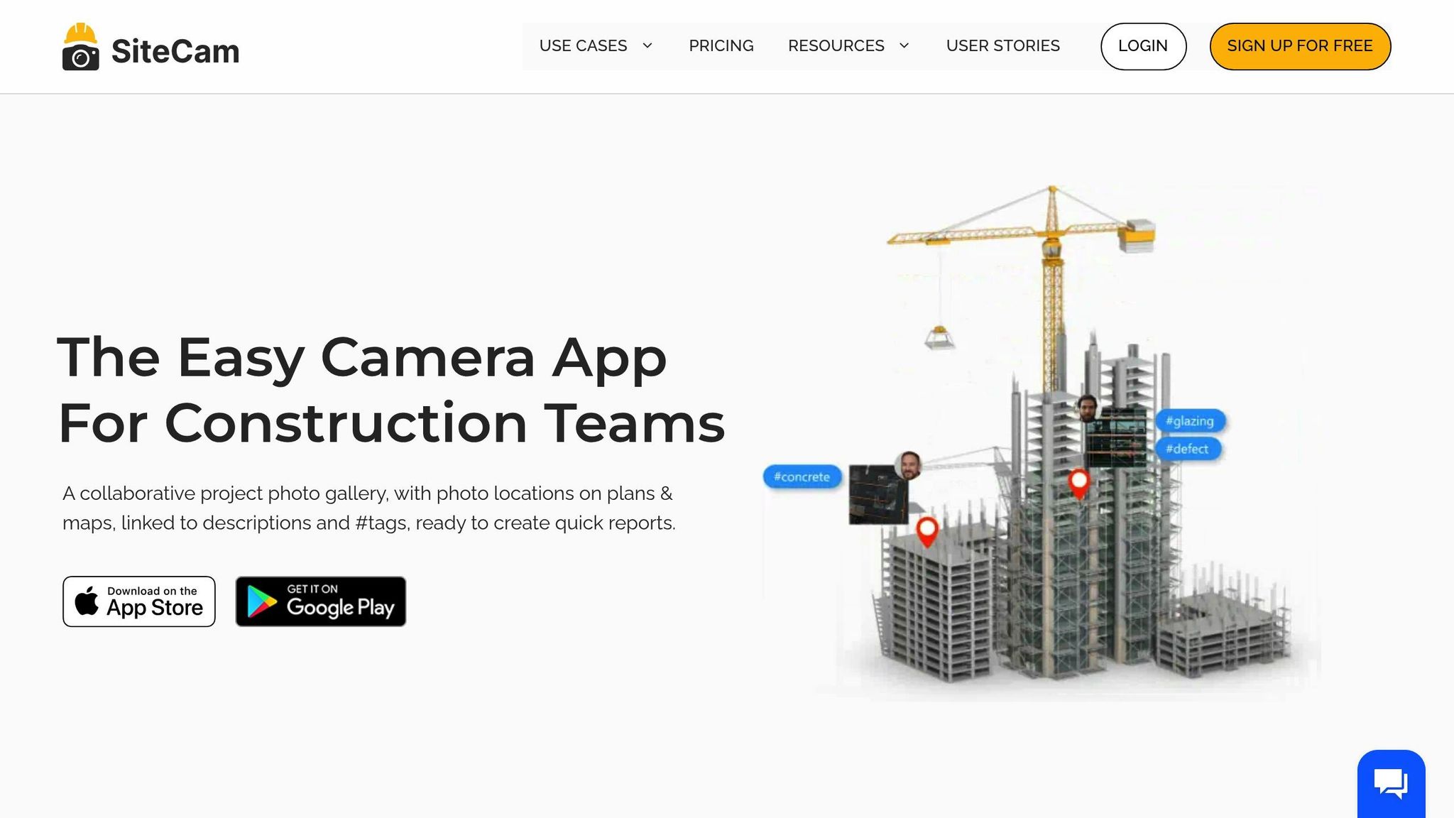
SiteCam is a construction photo documentation app designed for both mobile and web use. It simplifies the process of capturing, organizing, and storing project photos, offering cloud-based storage to ensure construction teams can maintain detailed visual records of their work. This platform provides a reliable solution for managing photo documentation efficiently.
Geotagging Accuracy
Every photo taken with SiteCam is automatically tagged with GPS data, using the device's built-in GPS to mark the image's exact location on the project map [54,55]. This geotagging feature ensures accurate site mapping. For instance, geotagged photos of property boundaries can serve as proof of location and site conditions, helping to avoid costly disputes.
Cloud Synchronization
SiteCam stores all photos securely on AWS, allowing users to work offline with automatic syncing when reconnected. This feature not only saves time but also prevents phone storage from filling up [54,57]. As Jay Goh, Senior Engineer at Cundall, highlights:
"You can invite team members to instantly access the project, ensuring unified communication."
Users can easily retrieve high-resolution photos and search their library using metadata like timestamps, tags, and location data.
Compliance-Ready Reporting
SiteCam streamlines compliance by enabling users to create organized photo reports. These reports can be customized, shared via URL, or downloaded as PDFs. The timeline feature tracks changes with tags and descriptions, while editable reports ensure documentation stays current throughout the project's duration [58,59].
sbb-itb-5f4c686
5. Raken
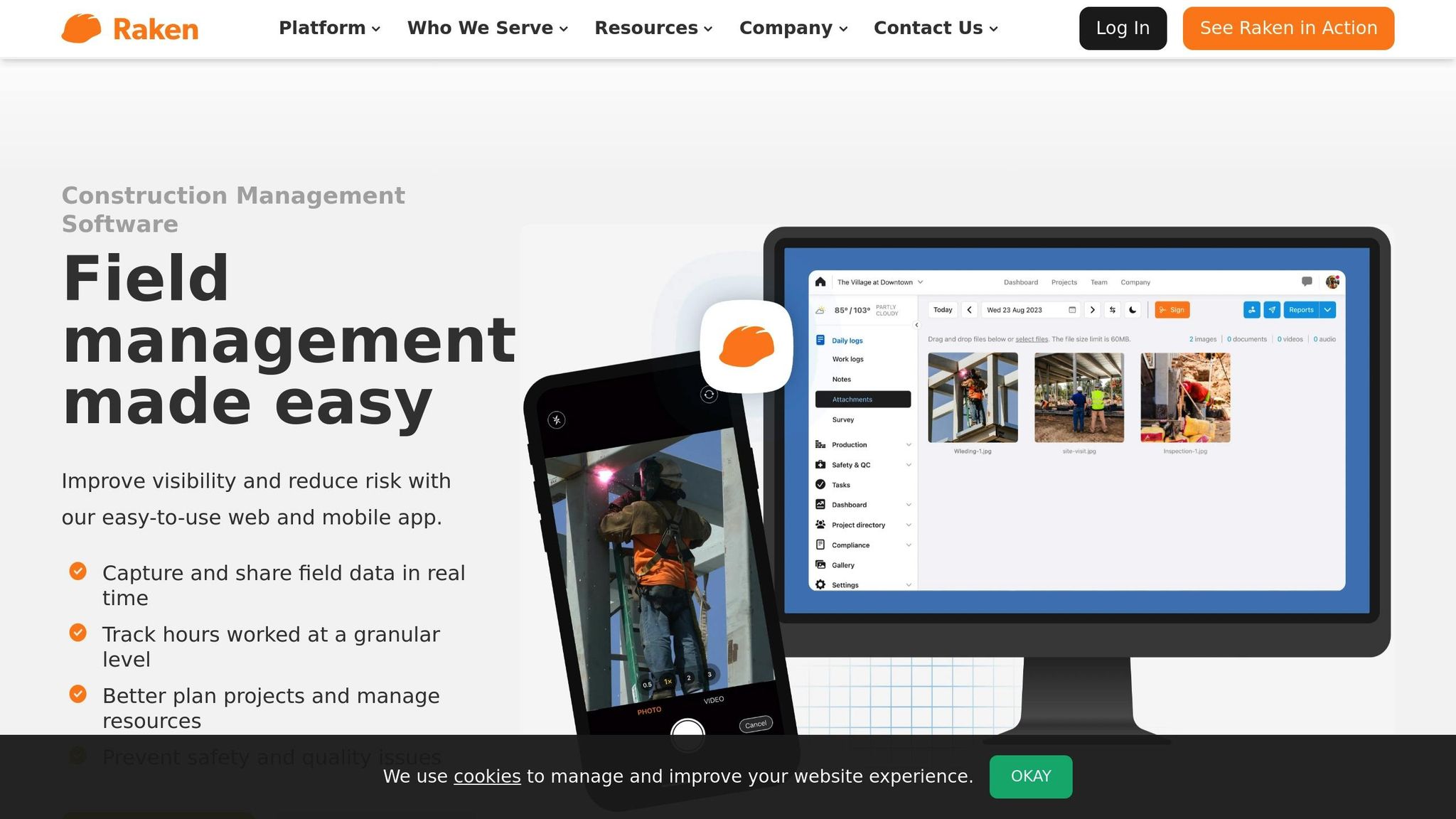
Raken is a field management platform designed for construction teams. Built with a mobile-first approach, it simplifies daily reporting and documentation, allowing crews to log progress, safety observations, and compliance data directly from the jobsite.
Geotagging Accuracy
Every photo and video taken with Raken automatically includes GPS coordinates. This feature enhances site mapping accuracy and provides reliable location verification. Users can even add custom watermarks to images, embedding these coordinates for added clarity. Whether used on phones or tablets, the app’s camera functionality integrates geotagged visuals into daily reports and stores them in a searchable gallery. This level of precision strengthens documentation efforts and ensures compliance.
Integration with Project Management Systems
Raken connects seamlessly with various project management platforms, integrating field data into larger workflows. It also works with tools for accounting, cloud storage, and reality capture, ensuring smooth data sharing across your existing tech ecosystem. This integration supports unified, real-time compliance reporting without disrupting established processes.
Compliance-Ready Reporting
Raken simplifies compliance reporting by enabling field crews to gather and share safety data in real time. Its safety dashboard helps monitor compliance, identify risks, and improve jobsite safety. With pre-built checklists and managed workflows, teams can ensure critical compliance data is captured when needed. The platform also allows users to document incidents with attachments, host toolbox talks, and organize key safety documents and OSHA forms in one central hub.
"We have prevailed in almost every one of the disputes we've had because of Raken." - Tom M., Director of Corporate Safety
Raken further simplifies regulatory compliance by enabling direct submission of annual work-related illness and injury data to OSHA. Its time-stamped electronic records offer undeniable proof of documentation authenticity.
"You don't know what's going to be important - but because everything's time-stamped electronically in Raken, it's proof we couldn't have recreated or altered it." - Todd F., VP of Pre-Construction Planning
6. OpenSpace
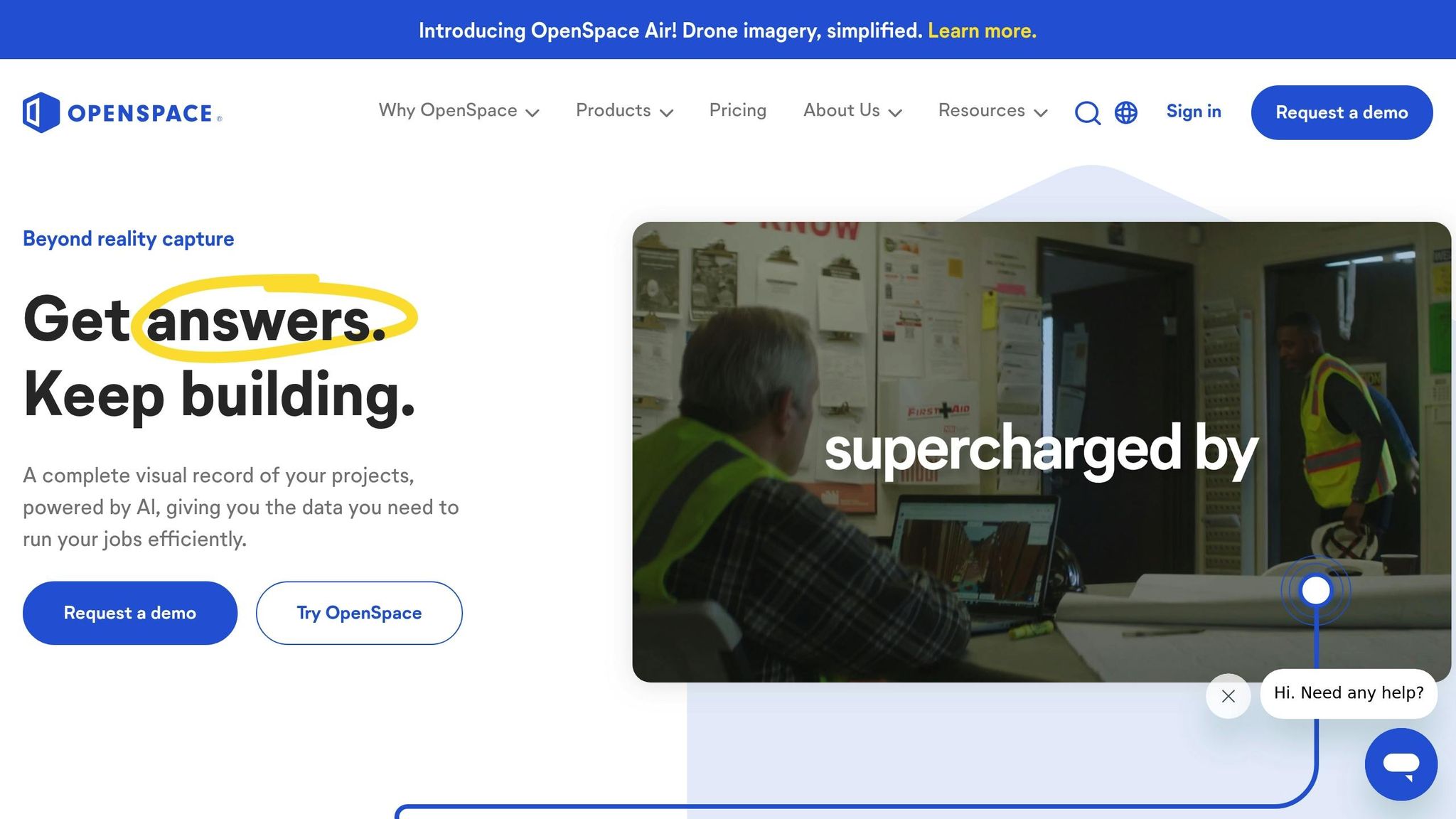
OpenSpace transforms construction site documentation with its AI-driven spatial mapping technology, which automatically organizes photos based on their location. With over 43 billion square feet of active projects documented and more than 2.4 billion images processed, OpenSpace has become a trusted tool for large-scale site documentation. Let’s take a closer look at what makes OpenSpace stand out.
Geotagging Precision
OpenSpace’s Spatial AI engine automatically maps images to floor plans, streamlining the documentation process. Whether using handheld devices, 360° cameras, or drones, the platform ensures accurate geotagging. Users can also manually pin both mobile and 360° photos. Impressively, teams can document up to 25,000 square feet in just 10 minutes, ensuring no detail is missed.
Cloud-Based Synchronization
To keep documentation up-to-date, OpenSpace automatically uploads captured images in the background whenever an internet connection is available. Processed images are ready within 15 minutes, allowing teams to stay current. For offline needs, full historical records can be downloaded as zip files. This seamless process ensures that documentation is always accessible.
"We consider OpenSpace to be a time machine. We always have all the historical information we need, which is super important for many reasons."
- Daves Vargas-Ballestero, IT Field Manager
Integration with Project Management Tools
OpenSpace integrates easily with leading project management platforms like Procore, Autodesk Construction Cloud (BIM 360 & Build), and Revizto. These connections include features like single sign-on, data export, and streamlined workflows for RFIs and observations. This means users can view captures and notes directly within their existing systems. For instance, MAPP Construction reported a 20-30% reduction in superintendent time after integrating OpenSpace with Procore, thanks to improved team communication.
Reporting for Compliance and Dispute Resolution
With clear visual records of site conditions, OpenSpace helps teams avoid costly rework, disputes, and delays in investigations. The platform’s detailed documentation creates a reliable audit trail, making it easier to handle compliance reporting and resolve disputes. As Ivana Tudja, Associate Director for BIM and Digital Engineering at Mace, shared, "At first we thought it might be hard to get the team on-site to capture regularly, but everyone saw the value immediately."
7. Fluix

Fluix continues to push the boundaries of digital documentation by offering automation tools designed to save time and reduce manual effort. For instance, it streamlines field data collection and reporting, slashing annual reporting times by an impressive 50% to 75%. With pricing starting at $20 per user per month, Fluix presents an affordable solution for teams aiming to enhance productivity.
Cloud Synchronization
Fluix’s cloud storage system keeps documents well-organized, offering ample free storage with options to expand as needed. Once set up, all essential files and folders automatically sync to team members' mobile devices, ensuring everyone has access to the latest updates.
For teams working in remote or low-connectivity areas - like construction sites - Fluix’s offline mode is a game-changer. Team members can continue working without an internet connection and sync their progress once they’re back online. James Bird, Maintenance Engineer at Humber Gateway Wind Farm, highlights this feature:
"The fact that you can use Fluix offline is an absolute must for us. It means that technicians can work on a boat, from their car, or from the top of a turbine."
Security is also a priority. Fluix relies on Amazon S3 with 256-bit AES encryption to protect stored documents. Each file gets its own encryption key, which is then secured with a rotating master key, ensuring robust data safety.
Integration with Project Management Systems
Fluix integrates seamlessly with major project management tools like Procore, Asana, Monday.com, and Wrike. For example, Procore users benefit from automatic uploads of drawings, checklists, and other project documents into the relevant project folders. Similarly, the Asana integration ensures tasks appear on dashboards with attached documents completed in the Fluix app. Additional integrations are available through platforms like Zapier, Automate.io, and Make, making Fluix adaptable to various workflows.
Compliance-Ready Reporting
Fluix also excels in compliance management. It generates reports tailored for regulatory requirements, such as OSHA recordkeeping, and allows data exports in CSV format for easy digital submissions. The platform supports adherence to GDPR, ISO, and OSHA standards, with role-based controls to limit access to sensitive data.
The platform’s audit features have delivered impressive results. For instance, Dyna Crane Services saved $300,000 and over 3,000 hours annually by automating audits with Fluix. Leanne Lawrence, Administration Manager at Dyna Crane, shares:
"We use Fluix to create audit checklists and safety documents because it allows us to do immediate sign-offs onsite. Auditors can look at the records in one system which is vital to cultivating and maintaining a proactive safety culture."
Fluix’s audit trails simplify compliance inspections, giving both internal and external auditors a clear view of records. Patrick Cote, Safety Officer & Training Pilot at Panorama Helicopters, emphasizes this benefit:
"Fluix provides a really transparent view for auditors – both internal and external. We can also follow-up with people who are delayed in getting things signed-off."
8. Encircle
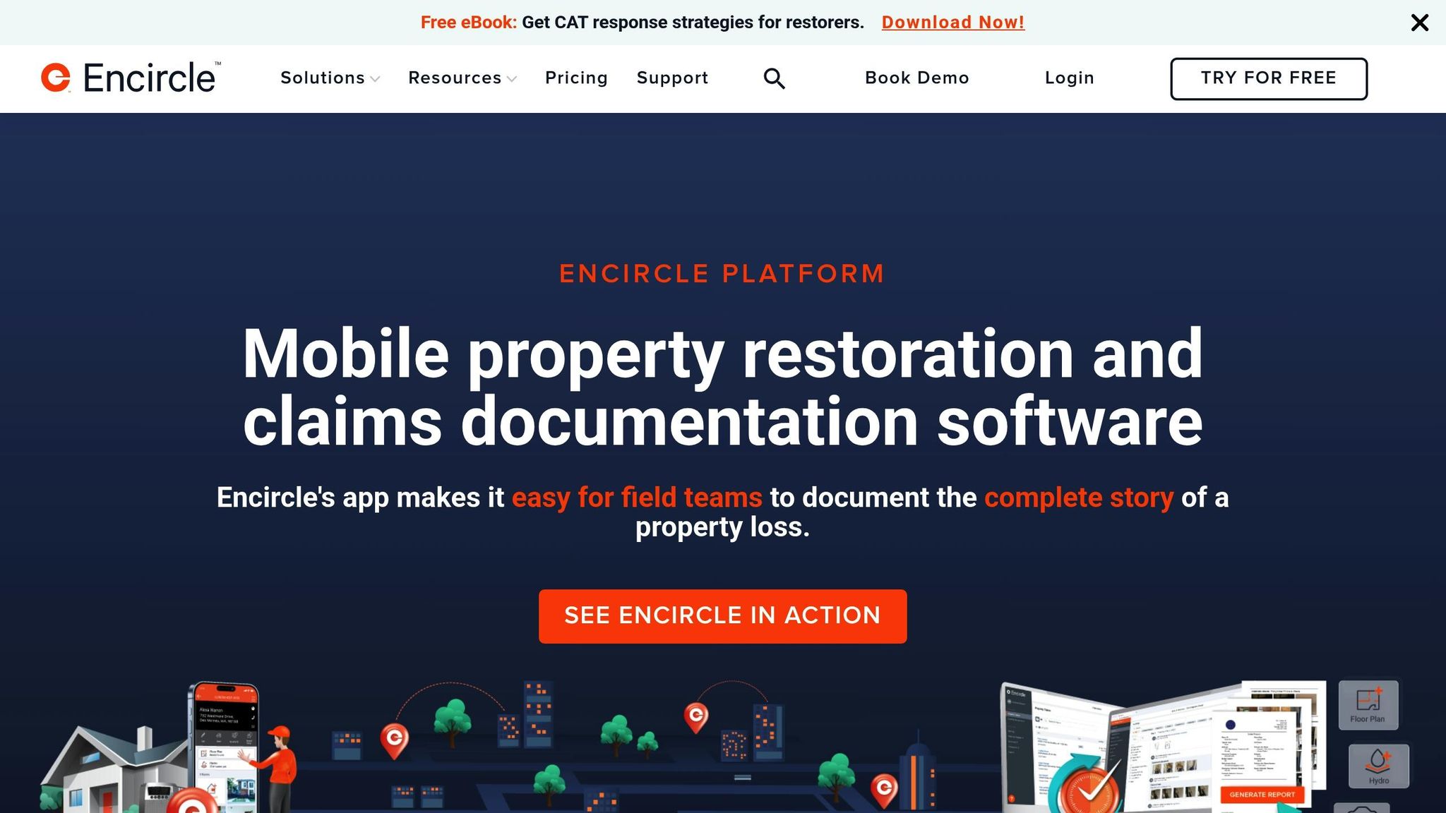
Encircle is a documentation platform used by more than 2,500 restoration businesses. Subscriptions start at $250 per month, with a user rating of 4.8/5. Its standout feature is the way it connects field documentation with office reporting, making it a go-to tool for construction teams handling complex projects.
Geotagging Accuracy
Encircle embeds GPS metadata - like date, time, and location - into every document, ensuring accurate site accountability. This geotagging capability is crucial for tracking construction sites and verifying projects, offering a dependable audit trail.
Cloud Synchronization
Encircle doesn’t just focus on location data; it also ensures real-time synchronization between field teams and office staff. Data captured on-site is instantly available in the office, thanks to unlimited cloud storage. The platform even supports offline documentation, automatically syncing all offline data once a connection is restored.
Paul Davis Restoration of Calgary, for example, cut its closing cycle from 2.5 hours to just 25 minutes using Encircle’s synchronization features. Shawn Thomas, a restoration company owner, shared:
"Instead of waiting for different pieces of information or chasing down details, all photos and notes are instantly accessible to the entire company… Saving hours, and sometimes days, in claim processing time."
Encircle also simplifies sharing with teammates, subcontractors, and adjusters. However, syncing may take longer in areas with poor connectivity.
Compliance-Ready Reporting
Encircle turns field data into polished, compliance-ready reports. Users can create various report types, such as initial, hydro, contents, and final reports. These reports can be customized to include specific documentation, contracts, and estimates, meeting regulatory or client needs.
The platform also features a library of carrier-specific reports, including contents listings, inspection reports, and signable documents, all of which integrate with XactAnalysis for smoother claims processing. Nicole Stone, an Office Manager, highlighted the benefits:
"We use it daily and it's worth every penny. Encircle has increased profitability on contents jobs by 20%. Adjusters look at the report, comment on how amazing it is, and hand over the cheque - no questions asked."
Rayleen Miller, a Production Supervisor, shared how it saves time:
"The [hospital] staff were so amazed at our communication and professional-looking reports. What would have previously taken me the better part of the day, I was able to do in under 3 minutes."
Encircle tackles a major industry pain point, as 66% of restoration professionals cite missing field documentation as the leading cause of delays or disputes over estimates. By offering standardized, carrier-specific reports that integrate seamlessly into workflows, Encircle helps teams stay compliant and efficient, addressing challenges head-on.
Tool Comparison Chart
When selecting construction documentation tools, it's essential to weigh their features in geolocation precision, annotation capabilities, third-party integrations, and security protocols. Below, you'll find a detailed comparison of eight popular tools, highlighting their strengths in these areas.
| Tool | Geolocation Precision | Annotation Features | Third-Party Integrations | Security Protocols |
|---|---|---|---|---|
| CrewCam | GPS-enabled with date, time, and location stamps on media | Photo annotations with tagging for filtering and organization | Basic integrations with cloud storage and communication tools | Unlimited cloud storage with team access controls and offline mode |
| Procore | Network-based positioning with customizable tracking | Comprehensive markup tools with change tracking and area filtering | Extensive ecosystem; 81% of users value these integrations | Enterprise-grade encryption with multi-factor authentication |
| PlanGrid | Standard GPS positioning, accurate within 10 feet | Advanced annotation tools designed for on-site use | Seamless integration with Autodesk Construction Cloud | Cloud-based security with role-based access controls |
| SiteCam | GPS positioning with 16-foot accuracy | Basic photo markup with timestamp overlays | Limited integrations with construction management platforms | Standard cloud encryption with user authentication |
| Raken | GPS tracking with automatic location detection | Text-based annotations complementing photo markups | Integrates with major construction management software | Cloud storage with project-based access controls |
| OpenSpace | Dual-band GPS for improved accuracy | AI-powered photo mapping with progress tracking | Integrates with BIM and project management tools | Enterprise security with strong encryption and backups |
| Fluix | Standard GPS with energy-efficient location services | PDF annotation tools with digital signature capabilities | Workflow automation for CRM and ERP systems | Advanced document encryption protocols |
| Encircle | GPS metadata embedding precise date, time, and location | Comprehensive reporting with customizable templates | Integration with XactAnalysis for claims workflows | Cloud sync with unlimited storage and offline capabilities |
Diving Deeper into Key Features
Geolocation Precision
The accuracy of geolocation tools varies widely. For example, iPhones typically achieve precision within 3 meters (about 10 feet) under ideal conditions, while Samsung Galaxy devices average around 10.6 feet. Tools like OpenSpace, which use dual-band GPS receivers, can improve accuracy even further. By combining advanced positioning technologies, some platforms maximize geolocation precision.
Annotation Capabilities
Annotation tools help teams streamline communication and documentation. Procore stands out with its robust markup tools, enabling users to highlight critical details and track changes. As Matthew Slaughter, Project Manager at Victory Woodworks, Inc., shares:
"With Procore's Correspondence tool, we can elevate key communications outside of email and place them in their own, more formal system of record. This enables us to get the attention and response we need when issues or delays threaten to impact the project".
Third-Party Integrations
Integrations play a crucial role in enhancing the functionality of construction tools. Research shows that 81% of construction software reviewers prioritize integration capabilities. Procore excels in this area with its extensive network of integrations. However, its complexity may challenge smaller teams. Similarly, PlanGrid's seamless connection with Autodesk Construction Cloud offers a top-tier user experience, though it might include more features than smaller teams require.
Security Protocols
Protecting sensitive project data is non-negotiable for construction teams. Most platforms implement strong security measures like encryption and multi-factor authentication. Balancing robust protection with ease of access ensures field teams can work efficiently while keeping critical information secure.
This breakdown offers a clear view of how these tools measure up, helping you choose the right fit for your construction documentation needs.
Conclusion
The eight construction documentation tools we've covered address some of the toughest challenges contractors face today: scattered records, compliance struggles, and inefficient workflows. These platforms take the hassle out of record-keeping and turn it into a strategic advantage.
One of the biggest perks? Time savings. Research shows construction professionals spend about 35% of their time just searching for documents. With these tools, records are centralized, making access instant and effortless.
Beyond saving time, advanced platforms improve productivity, cut down on rework, and directly impact profits while speeding up project timelines. The key is selecting tools that align with your specific needs - whether you're a small residential contractor or a large commercial firm juggling multiple sites.
"Digital compliance transforms construction operations from a bureaucratic burden into a competitive advantage."
– Industrial Build News
When choosing the right tool, consider factors like geolocation accuracy for your sites, annotation features that fit your documentation style, and whether the tool integrates seamlessly with your current software. Don’t forget to check for strong security protocols and offline functionality, especially if your team works in remote locations with spotty connectivity.
The compliance benefits alone are hard to ignore. Companies using digital compliance platforms report some impressive results: 60% faster audit responses, 40% fewer compliance-related delays, and 85% fewer documentation errors. These gains don’t just reduce risks - they also streamline workflows, amplifying overall efficiency.
"A well-executed document management strategy can be a genuine game-changer in the competitive construction industry."
– Sophie Muradyan, Buildern
The construction industry is undergoing a digital transformation that’s already leading to 15% improvements in productivity and 6% cost reductions. Companies adopting these tools now are setting themselves up for long-term success in an increasingly competitive field.
To fully reap the benefits, consistency is key. Train your team thoroughly, establish clear protocols, and regularly review your processes to ensure everyone stays on track. These tools aren’t just about solving problems - they’re about redefining how your business operates.
FAQs
What features should I prioritize when selecting a construction site documentation tool?
When picking a tool for construction site documentation, focus on features that boost productivity, keep things organized, and make teamwork smoother. A user-friendly interface is a must - it makes navigation simple and minimizes the time spent learning the tool. Equally important is mobile accessibility, allowing you to update and manage documents directly from the site. A centralized document repository keeps all project files in one place, making them easy to find when you need them.
It's also smart to choose a tool with real-time collaboration so team members can work together seamlessly, no matter where they are. Features for compliance tracking help ensure your project stays aligned with industry regulations. Don’t overlook security - make sure the tool has strong protections in place to safeguard sensitive project data. Prioritizing these features will help you find a tool that simplifies documentation and keeps your construction projects running smoothly.
How do geotagging and cloud synchronization make construction site documentation more efficient?
Geotagging embeds exact location details into photos, making it simple to pinpoint where each image was captured on a jobsite. This helps improve accountability, streamlines compliance checks, and makes it easier to pull up location-based records when needed.
Cloud synchronization takes things a step further by automatically updating project data in real-time across all devices. This minimizes errors, ensures everyone stays aligned, and gives stakeholders instant access to the latest information - key for seamless project management and informed decision-making.
What are the advantages of connecting construction documentation tools with project management systems?
Integrating construction documentation tools with project management systems brings a host of benefits that can transform how projects are managed. By centralizing all information in one place, it simplifies workflows, cuts down the time spent hunting for documents, and ensures every team member has access to real-time updates. This keeps everyone on the same page and enables quicker, more informed decision-making.
It also reduces risks like miscommunication or errors in documentation, which boosts accountability and makes compliance tracking more straightforward. With a single, unified platform, project managers can stay on top of progress, allocate resources efficiently, and maintain up-to-date records - key for meeting regulatory standards and staying on track with timelines. This cohesive approach not only saves time but also minimizes errors, keeping projects on course and running efficiently.
Related Blog Posts


See CrewCam in action
Start your free trial now by clicking the button below


Wanna chat or demo?
Questions? Concerns? Requests? Talk to a real human

Watch a CrewCam demo now 😎
Short on time, busy, got jobs to do? See how CrewCam works now!