related blog
%20(3).svg)
Innovation
18
Top 7 Jobsite Photo Softwares for Contractors
Explore top jobsite photo software that enhances documentation, collaboration, and efficiency for contractors in the construction industry. The best software for contractors.
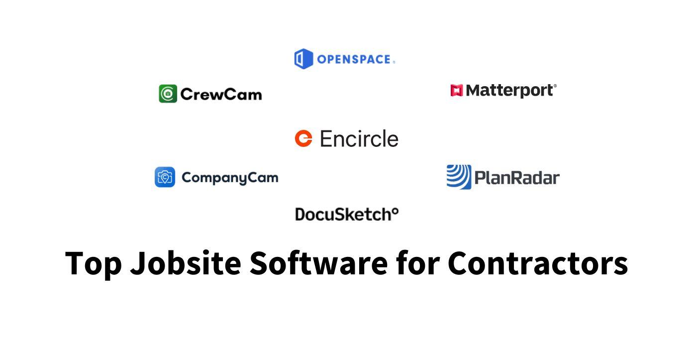
Managing jobsite photos effectively can save contractors time, reduce disputes, and cut costs. The construction industry loses billions annually due to poor documentation, but the right photo tools can help minimize these challenges. Here's a quick rundown of the top software options for jobsite photo management:
- CrewCam: Offers GPS and time-stamped photos, unlimited cloud storage, and real-time collaboration tools.
- CompanyCam: Focuses on organization with live photo feeds, annotation tools, and automatic metadata tagging.
- OpenSpace: Uses 360° cameras for hands-free site documentation linked to floor plans and BIM models.
- PlanRadar: Combines photo management with digital blueprints and real-time issue tracking.
- Matterport: Creates 3D digital twins for virtual site walkthroughs and precise measurements.
- Encircle: Designed for restoration projects, with unlimited cloud storage and streamlined workflows.
- Docusketch: Specializes in 360° immersive tours and digital floor plans for insurance and restoration work.
Quick Comparison:
| Software | GPS Tagging | Cloud Storage | Key Feature |
|---|---|---|---|
| CrewCam | Yes | Unlimited | Real-time collaboration |
| CompanyCam | Yes | Unlimited | Live photo feeds, AI reports |
| OpenSpace | Yes | Basic | 360° hands-free capture |
| PlanRadar | Yes | Secure | Integrated with digital plans |
| Matterport | Yes | Tiered plans | 3D digital twins, VR tours |
| Encircle | Yes | Unlimited | Streamlined restoration workflows |
| Docusketch | Yes | Secure | 360° tours, floor plans |
Each software offers unique tools tailored to different needs. Whether you prioritize unlimited storage, hands-free documentation, or 3D site mapping, there's a solution for every contractor.
1. CrewCam
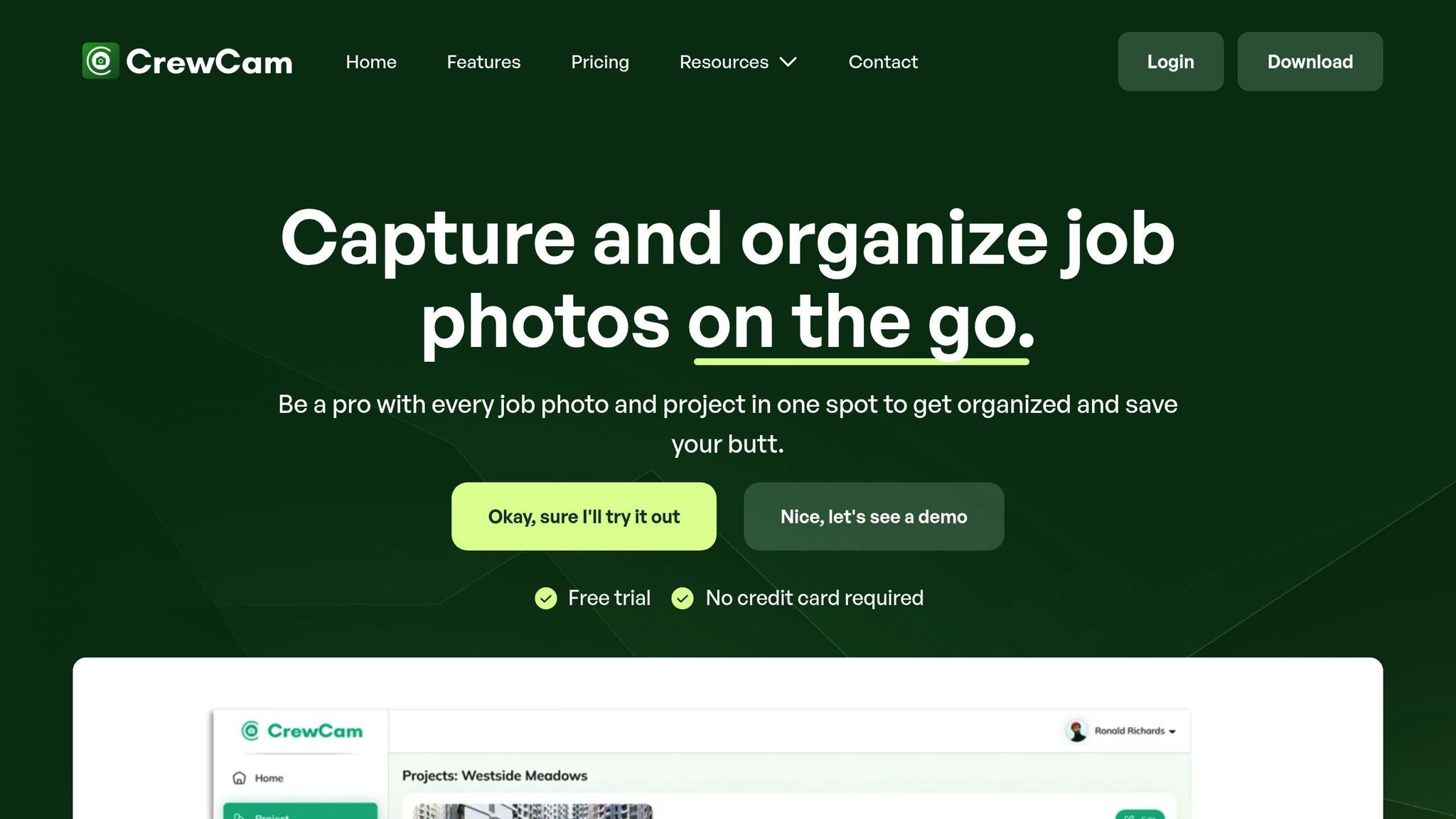
CrewCam is a photo documentation app designed specifically for contractors and service professionals, addressing the unique demands of modern construction projects. Available on both iOS and Android, it redefines how teams capture, organize, and share project details while ensuring precision and accountability.
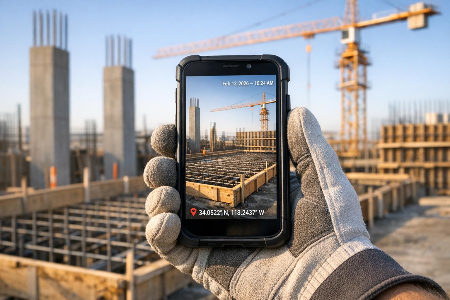
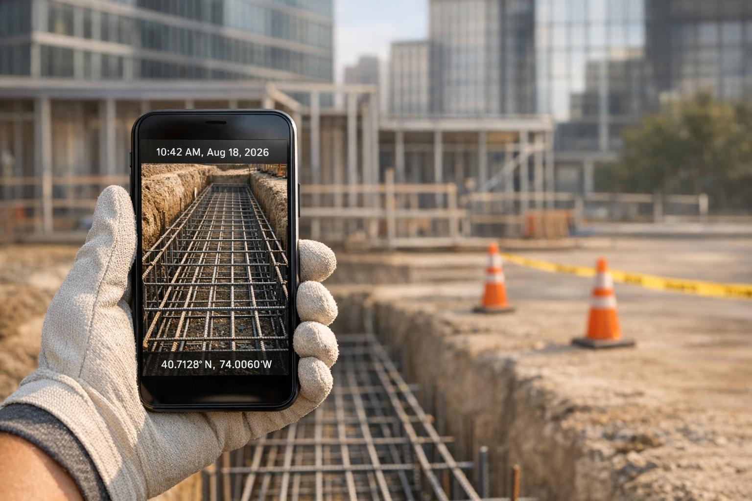
GPS and Time-Stamped Photos
CrewCam automatically adds date, time, and GPS data to every photo, removing any uncertainty and creating a reliable record for tracking progress or resolving disputes. These georeferenced records are especially helpful for pinpointing work areas, deliveries, or issues on large jobsites.
"The GPS and timestamp features improve the accuracy of our documentation. CrewCam is an excellent choice." - Gabriel, CrewCam User
Instead of juggling manual notes or trying to recall when specific tasks were completed, teams can rely on accurate, detailed visual records for both tracking progress and safeguarding against potential legal issues.
Cloud Storage Capabilities
With unlimited cloud storage included in all plans, CrewCam ensures teams never have to worry about running out of space for their project files. This solves the common problem of cluttered phone storage and provides a secure, centralized location for all jobsite documentation.
The cloud-based system automatically backs up photos and videos, making them accessible from anywhere with an internet connection. This allows field teams to capture images on-site and instantly share them with office staff, creating a smooth workflow between the jobsite and administrative operations.
Team Collaboration Features
CrewCam’s collaboration tools keep everyone on the same page with a real-time live feed, while controlled permissions and guest access ensure secure and efficient teamwork.
Project managers can set controlled access and permissions, deciding who can view, upload, or edit documentation. This level of control ensures sensitive information stays protected while still allowing team members to contribute as needed.
For added flexibility, the app supports guest collaborators, allowing subcontractors, clients, or inspectors to access specific projects without requiring full system access. Teams can also share updates externally through secure links, making it easy to keep stakeholders informed without unnecessary complexity. Combined with annotation and organization tools, these features make communication and project management more streamlined.
Annotation and Organization Tools
CrewCam includes on-photo annotation, tagging, and project checklists, simplifying task management and visual communication.
The checklist feature integrates with task assignments, creating workflows where visual records become a natural part of daily operations. This functionality not only improves clarity but also ensures tasks are tracked and completed efficiently.
CrewCam currently holds a 4.5/5 rating from 40 customer reviews, showcasing its ability to tackle common challenges in jobsite documentation. By combining automated tools, unlimited storage, and robust collaboration features, CrewCam offers a practical solution for contractors managing visual project records.
2. CompanyCam
CompanyCam simplifies jobsite photo documentation by combining key features that make managing images straightforward and efficient. With automatic time and location tracking for every photo, contractors can stay organized and keep their teams on the same page.
GPS and Time-Stamped Photos
Every photo captured in CompanyCam is automatically time-stamped and saved with its location, making it instantly accessible to the entire team. Users can activate the "Stamp date and time" and "Stamp GPS coordinates" options in their settings. Once enabled, these stamps appear at the top of the camera view, providing real-time confirmation that the feature is active.
Each team member needs to enable these settings in their individual accounts, ensuring consistent documentation across the board. This tailored approach ensures that all images carry accurate metadata, streamlining project tracking and accountability.
In addition to metadata, CompanyCam offers tools to enhance photo clarity and usability through annotations.
Annotation and Organization Tools
CompanyCam’s annotation features allow users to add extra context to photos with arrows, shapes, and text overlays. For more detailed visuals, measurement labels and circles can highlight specific areas of interest. Premium users even have the option to include their company logo as a sticker on photos, adding a professional touch for client-facing materials.
The platform also includes an edit mode designed for efficiency. After capturing a photo, users can configure the app to automatically launch annotation tools, saving time and simplifying the documentation process.
"I like the markup functions when we're sending stuff to a crew, understanding, hey I want this turtle vent plugged and I want to do this over here. Or being able to say, hey, I need to add a downspout right here and draw right on the photo." - Marcus Kuhlmann, COO, Apple Roofing
To keep projects organized, CompanyCam uses tags and labels. Tags can be applied to individual photos, categorizing them as "Before", "After", "Damage", or any custom label. For broader project management, labels can be assigned to entire jobs, making it easy to filter by status, such as "Active", "Complete", or "In Progress".
"The feature I use the most is probably editing mode where I can write stuff on there, document circle, detail, what the homeowners kind of point out and really like highlight the problem areas, the problems we fixed." - Chuck Fistek, American Home Contractors
3. OpenSpace
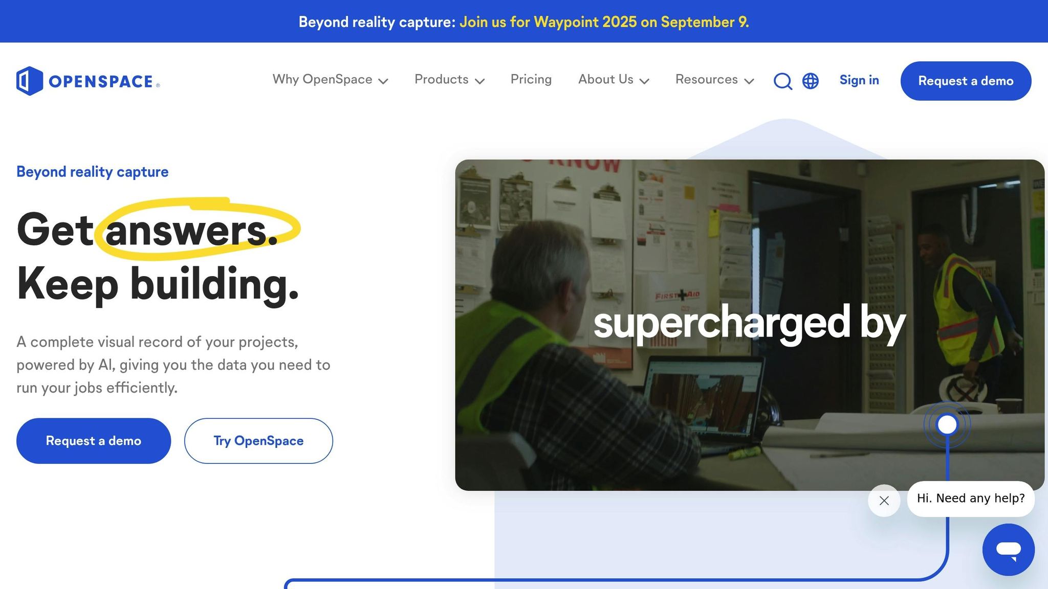
OpenSpace stands out in the world of jobsite photo software with its hands-free 360° capture technology, designed to simplify and enhance visual documentation. By using 360° cameras mounted on hard hats, OpenSpace provides continuous, time-stamped imagery of jobsites without interrupting workflows.
GPS and Time-Stamped Photos
Every image captured by OpenSpace is automatically time-stamped and linked to floor plans or BIM models. The 360° cameras work in the background, documenting site conditions in real time. This approach lets teams detect potential issues weeks earlier than traditional inspection methods.
As Daves Vargas-Ballestero, an IT Field Manager, explains:
"We consider OpenSpace to be a time machine. We always have all the historical information we need, which is super important for many reasons." – Daves Vargas-Ballestero, IT Field Manager
Cloud Storage Capabilities
OpenSpace offers robust cloud storage designed for enterprise needs, boasting 99.999% uptime, SOC 2 compliance, and strong encryption. Its flexible data management options allow teams to securely share and export project data in various formats.
For added convenience, the platform includes Shared Folders for secure collaboration with team members or external partners. Users can export project data in formats such as PDFs, JPGs, and even auto-generated PowerPoint reports, ensuring they retain full ownership of their content. For long-term archiving, the "Offline Deliverable" feature provides a downloadable zip file containing all 360° captures from a project, creating a permanent historical record.
These storage solutions work hand-in-hand with OpenSpace's collaboration tools, making data sharing and management seamless.
Team Collaboration Features
OpenSpace also takes on the challenge of improving on-site coordination, addressing a major issue in the construction industry: miscommunication and poor data management, which account for 48% of all rework on U.S. construction jobsites - costing an estimated $31.3 billion annually.
The platform’s collaboration tools, such as the Field Notes feature and BIM+ integration, allow teams to track issues in real time and visually collaborate, reducing delays and cutting down on costly rework. OpenSpace also integrates smoothly with popular project management systems like Procore, BIM 360, Autodesk Build, and PlanGrid, making processes like RFI management faster and more efficient.
JB Peel, a Vice President, highlights the value of these features:
"OpenSpace allows us to have real-time coordination with our project teams when they're remote. If we walk on a Tuesday and have an RFI meeting on a Wednesday, we can pull up that walk and the model and clarify and coordinate issues in real time." – JB Peel, Vice President
The impact of these tools is evident in user feedback. According to an OpenSpace customer survey, 67% of users reported saving thousands of dollars on average project costs, while 74% saved multiple hours per week thanks to improved site coordination and reduced rework.
4. PlanRadar
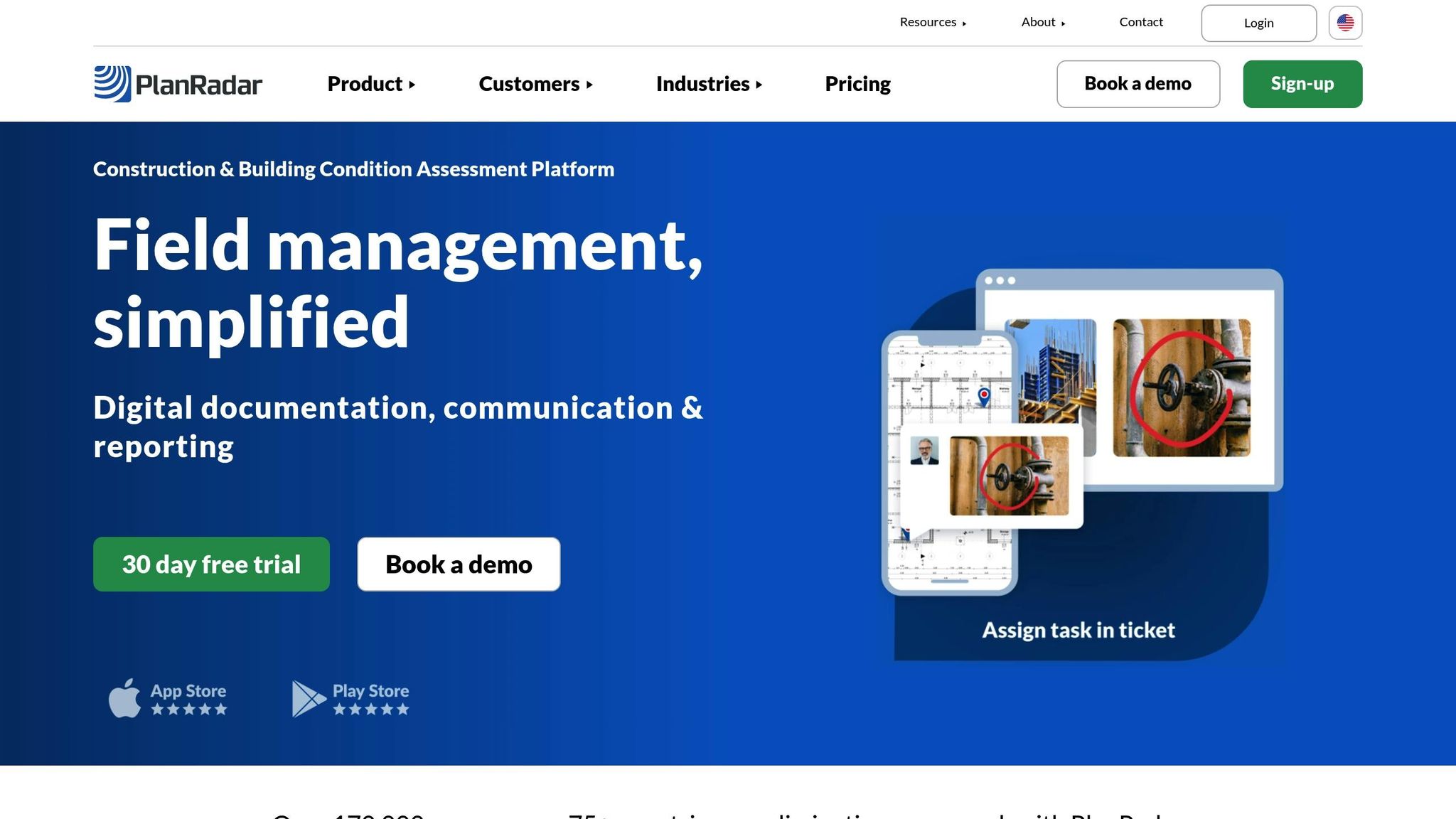
PlanRadar combines digital blueprints with location-based photo management, giving contractors the ability to attach media directly to blueprints. This creates a clear visual record that shows exactly where documentation was captured.
GPS and Time-Stamped Photos
Every photo uploaded to PlanRadar is automatically stamped with GPS coordinates and a timestamp. This feature lets users attach images directly to digital plans, providing comprehensive visual tracking. It helps teams monitor progress and quickly spot potential issues.
Cloud Storage Capabilities
PlanRadar securely stores all data - photos, videos, and more - in the cloud, with real-time syncing across devices. The platform is accessible on smartphones, laptops, and desktops, and even offers an offline mode that caches data until an internet connection is restored. Impressively, 91% of users report improved productivity on construction sites. This secure storage system also enhances team collaboration. As one site manager put it:
"With PlanRadar, we are able to efficiently measure and document findings on-site and to communicate and process them further." – Site Manager
Team Collaboration Features
PlanRadar simplifies communication by allowing users to create tickets that include photos, voice memos, or text annotations. All entries are stored in the cloud, making them easy to search and retrieve. Teams can also pin tasks and issues directly on digital plans, adding comments from mobile devices to keep everyone in sync.
Annotation and Organization Tools
The platform's annotation tools make issue tracking and task management straightforward. Users can mark up digital plans by highlighting specific sections, adding notes, and creating tickets with a single tap. Stickers and text annotations make it easy to communicate issues. Additionally, photos, videos, and voice notes can be attached to both 2D plans and BIM models, with geolocation tags ensuring precise documentation. Custom reports summarizing defects, annotations, and photos can be generated and exported effortlessly.
PlanRadar pricing starts at $49/month for the Basic plan, $159/month for the Starter plan, and $239/month for the Pro plan.
sbb-itb-5f4c686
5. Matterport
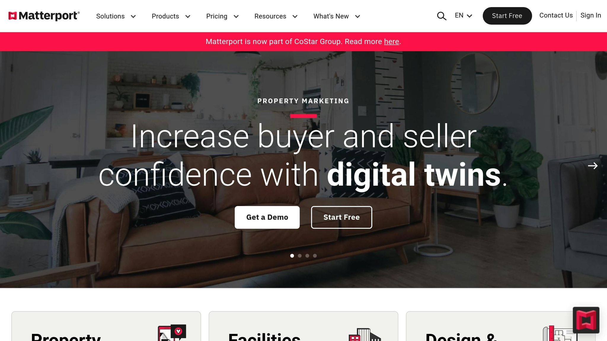
Matterport specializes in creating 3D digital twins, allowing contractors to virtually capture and navigate entire sites with ease.
GPS and Time-Stamped Photos
Matterport’s 3D scanning technology embeds GPS coordinates and timestamps into every scan, ensuring accurate documentation that meets legal standards. This eliminates manual errors, making the photos and measurements not only precise but also admissible in court. For contractors dealing with insurance claims, regulatory compliance, or project disputes, this level of accuracy and reliability is indispensable.
Cloud Storage Options
Matterport offers cloud storage across five subscription tiers, catering to projects of various sizes and team needs. All 3D models, images, and attachments are securely stored in the cloud, with automatic syncing across devices.
| Plan | Attachment Storage | Active Spaces | Monthly Cost |
|---|---|---|---|
| Free | 1 GB | 1 | $0 |
| Starter | 5 GB | 5–20 | $11 |
| Professional | 50 GB | 20–150 | $53 |
| Business | 500 GB | 100–300 | $277 |
| Enterprise | 5 TB | Custom | Contact Sales |
The platform supports properties up to 62,500 sq ft (Pro3) or 30,000 sq ft (Pro2). Users can also import data from services like Dropbox or Google Drive and export complete projects as .zip files for additional storage options.
Real-Time Team Collaboration
Matterport enhances teamwork by enabling real-time collaboration within 3D spaces. Its Notes feature allows users to leave comments and feedback directly on specific areas within the digital twin, making communication clear and context-driven.
For instance, Gilbane, a top construction company, used Matterport to review 21 branch locations in a single four-hour online session. This avoided 21 days of travel and saved 168 work hours. The platform integrates with tools like Procore and Autodesk Construction Cloud, and it even allows multiple users to scan different parts of a property simultaneously to create a unified digital twin.
Annotation and Organization Tools
Matterport’s Tags and Notes system is designed to streamline documentation. Teams can tag specific areas to highlight changes or issues, and share custom URLs that take viewers directly to those spots for instant context.
For example, Knutson Construction, based in Minnesota and Iowa, cut their documentation time in half by using Matterport’s tools. Instead of manually measuring spaces, they now extract accurate dimensions and images directly from their 3D scans.
Japjit Tulsi, Matterport’s Chief Technology Officer, explains the impact of these tools:
"Notes is a game-changer for teamwork and efficiency. Increasingly, companies are adopting business collaboration and communication functionality in order to improve work across distributed workforces to save time and money. Notes is an industry-first, bringing collaborative conversations to digital twins. By enabling interaction with specific locations and objects directly within the digital twin, Notes saves considerable time and significantly improves coordination, teamwork, efficiency, and productivity across multiple stakeholders."
– Japjit Tulsi, Chief Technology Officer at Matterport
This is especially critical given that 52% of construction rework stems from miscommunication and bad data. By anchoring discussions to precise 3D locations, Matterport helps teams avoid costly errors and unnecessary rework.
Matterport’s pricing starts at $11/month for the Starter plan, $53/month for the Professional plan, and $277/month for the Business plan. Annual billing offers additional savings. With its robust features, Matterport provides contractors with a reliable solution for accurate and efficient project documentation.
6. Encircle
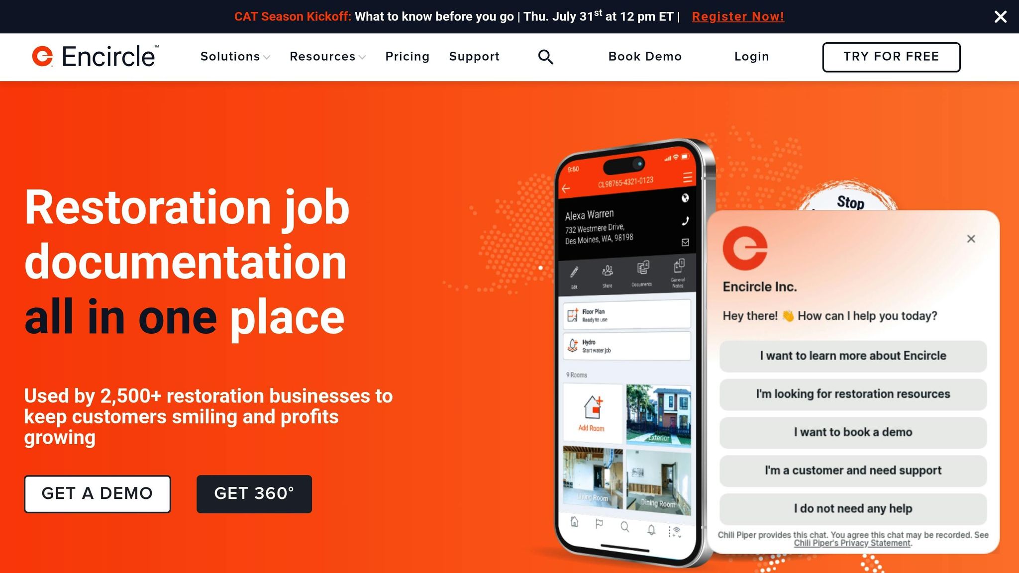
Encircle provides restoration contractors with a powerful tool for field documentation. It focuses on accurate metadata and smooth collaboration - key elements for managing fast-moving restoration projects effectively.
GPS and Time-Stamped Photos
Encircle automatically attaches date, time, and GPS metadata to every photo taken. This feature ensures stakeholders can verify when and where a photo was captured, adding an extra layer of accountability. It also records critical source details, addressing a major issue in the property restoration industry, where inefficiencies tied to incomplete or unreliable documentation can account for up to 30% of costs.
Cloud Storage Capabilities
Encircle goes beyond metadata tagging by offering unlimited cloud storage for photos and job-related documents. Subscription plans start at $270/month. Data is securely stored in the cloud, accessible both in the office and on the go. The platform works offline too, syncing automatically once reconnected to the internet. This makes sharing updates with teams, subcontractors, and insurance adjusters straightforward. Trusted by over 2,500 restoration companies, Encircle has earned an overall rating of 4.8/5 from 25 reviews on GetApp, with users rating its ease of use at 4.8/5, features at 4.7/5, and customer support at 4.9/5.
Team Collaboration Features
With Encircle, field and office teams can update project data simultaneously in real time. This reduces delays and keeps everyone on the same page. Contractors using Encircle report significant benefits, including a 20–40% boost in earnings from streamlined workflows. The platform also shortens job cycle times by up to 5 days, reduces payment delays by 84%, and saves up to 8 hours daily on documentation and reporting tasks.
Jake Fuller, Mitigation Manager, highlights its impact:
"We can go to new losses every hour and still have all of the information needed... The inspection reports are getting uploaded and sent to the insurance companies before our project managers are off site, so [they] know exactly what's happened at the loss and if it's a covered loss."
Max Pena, Marketing Manager at Pure Restore, shares a similar sentiment:
"Encircle is so straightforward to train employees on, even if they've never used apps in their day-to-day life. They can learn it within hours, and already be in the field, using it like a professional."
For technicians, the platform’s ease of use is a standout feature. Isaiah Peek, Lead Technician at PuroClean Fort Worth, TX, puts it plainly:
"To me, Encircle is the easiest part of the job."
With its unlimited storage, automatic metadata integration, and real-time collaboration tools, Encircle offers restoration contractors a reliable and efficient way to manage documentation and streamline their operations.
7. Docusketch
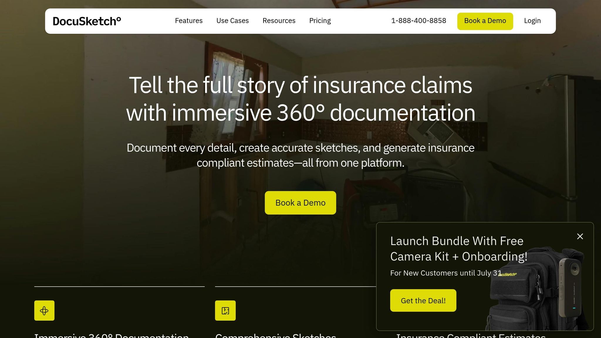
Docusketch focuses on creating 360° immersive tours tailored for insurance claims and restoration projects. Trusted by over 20,000 restoration professionals and insurance adjusters throughout North America, this platform blends traditional photo documentation with advanced 360° capture technology.
"Tell the full story of insurance claims with immersive 360° documentation. Document every detail, create accurate sketches, and generate insurance compliant estimates - all from one platform."
- DocuSketch
GPS and Time-Stamped Photos
Every photo and 360° capture taken with Docusketch includes embedded metadata, such as precise timestamps and GPS coordinates. The platform’s timeline views provide a clear, chronological record of project progress. Its 360° tours boast an impressive 99% accuracy rate, making them a dependable choice for insurance documentation.
In addition to its detailed capture capabilities, Docusketch ensures all data is safeguarded through its secure cloud infrastructure.
Cloud Storage Capabilities
Docusketch uses a cloud-based system designed to protect sensitive information. Meeting SOC 2 Type II standards, this infrastructure securely stores photos, data, and location tags, offering peace of mind in an era of increasing cyber threats.
Team Collaboration Features
Collaboration is simplified with Docusketch’s real-time, permission-based data sharing. Users can share 360° links, custom links, and project invites with clients, team members, and insurance adjusters. These links automatically update as new timeline captures are added, ensuring everyone stays on the same page.
Annotation and Organization Tools
Docusketch also provides tools for annotating and organizing project data, making it easier to manage documentation. The platform operates on a credit-based pricing model for its 360° tours and sketches. New users can take advantage of a "Launch Bundle" that includes a free camera kit and onboarding support. Pricing tiers are determined by monthly property volumes, with additional tour credits costing $5–$7 and sketch credits ranging from $42–$55. Adding extra office locations costs $129 per month.
Feature Comparison Chart
The table below outlines the core features of each platform, making it easier to compare their capabilities at a glance.
| Software | GPS Tagging | Cloud Storage | Team Collaboration | Annotation Tools | Specialized Features |
|---|---|---|---|---|---|
| CrewCam | ✅ Geo-location tagged | ✅ Unlimited storage | ✅ Real-time updates & guest access | ✅ On-photo drawings & text | Project checklists, offline mode |
| CompanyCam | ✅ Automatic location stamps | ✅ Unlimited storage | ✅ Live photo feeds & commenting | ✅ Photo markup tools | AI-generated reports, multi-language support |
| OpenSpace | ✅ Location tracking | ✅ Basic cloud features | ✅ Progress sharing | ✅ Side-by-side comparisons | 360° capture, thermal insights, 3D LiDAR scans |
| PlanRadar | ✅ GPS coordinates | ✅ Secure file storage | ✅ Real-time updates | ✅ Digital markup | Integrated RFI management |
| Matterport | ✅ Spatial mapping | ✅ Cloud-based storage | ✅ Shared 3D models | ✅ Virtual annotations | 3D reality capture, VR tours |
| Encircle | ✅ Location data | ✅ Automated organization | ✅ Video communication | ✅ Visual documentation | Automated photo labeling |
| Docusketch | ✅ Embedded GPS metadata | - | ✅ Permission-based sharing | ✅ 360° panoramic annotations | Detailed 360° tours and digital floor plans |
Each platform offers distinct features tailored to different workflows and needs. Here's a closer look at how they compare:
Storage Options
Storage capacities vary widely. CrewCam and CompanyCam stand out with unlimited storage, while others, like OpenSpace, offer more basic cloud features. If extensive storage is a priority, these two platforms are strong contenders.
Collaboration Features
CrewCam provides real-time project feeds with guest access, making it easy to keep external collaborators in the loop. CompanyCam, on the other hand, offers live photo feeds paired with AI-generated reports and instant translation capabilities, which can be a game-changer for multilingual teams. Meanwhile, Docusketch focuses on permission-based sharing, ideal for workflows requiring tighter data control.
Annotation Tools
All platforms include annotation tools, but their depth varies. CrewCam allows users to add drawings and text directly to photos, while Docusketch specializes in 360° panoramic annotations, perfect for capturing detailed site documentation.
Specialized Features
The unique strengths of each platform shine through their specialized tools. OpenSpace is designed for 360° footage capture and adds thermal insights and 3D LiDAR scans for advanced site analysis. Matterport takes a different route, focusing on 3D reality capture and immersive VR tours, making it ideal for showcasing spaces. Encircle simplifies workflows with automated photo labeling, while Docusketch excels in creating detailed floor plans and panoramic tours.
When choosing the right solution, think about your specific needs. For construction progress tracking, platforms with unlimited storage and real-time collaboration, like CrewCam or CompanyCam, are excellent choices. If your project demands detailed, high-precision documentation, tools like Docusketch or Matterport might be better suited. Team size and scalability also matter - some platforms are better equipped for larger crews, while others cater to smaller teams.
Selecting the right tool can make all the difference in ensuring efficient and accurate jobsite documentation.
Final Thoughts
Effective photo documentation software isn't just a nice-to-have for contractors - it’s a game-changer. It can help minimize rework costs, prevent disputes, and avoid expensive quality control issues that are all too common in the construction industry. For contractors looking to stay ahead of the curve, investing in dedicated jobsite photo documentation tools is a smart move.
Disorganized photo management can waste hours every week, but systematic documentation keeps projects on track and trims administrative costs. This approach also speeds up dispute resolution - 92% of firms using systematic photo records report faster outcomes.
"Site photo documentation stands as the strongest defense against these costly conflicts, creating an undeniable visual record of project progress and quality."
To get started, take a close look at your current challenges and workflows. Identify gaps where technology could make a real difference. Separate the must-have features from the nice-to-haves to ensure you’re investing in a solution that meets your team’s specific needs.
When evaluating software, consider factors like scalability, ease of use, and mobile accessibility. Features such as offline functionality, multi-language support, or advanced tools like 360° capture might be crucial for your team. Also, pay attention to the vendor’s support offerings - things like implementation help, training resources, and customer service can make or break your experience. Platforms like CrewCam and CompanyCam, which offer unlimited cloud storage and real-time collaboration, are great options for larger operations.
Rolling out new software successfully requires careful planning and team involvement. Set clear goals, establish timelines, and assign responsibilities before implementation. Starting with a pilot project is a great way to test workflows and fine-tune your documentation standards.
As the construction industry continues to embrace digital tools, contractors who adopt comprehensive photo documentation today are setting themselves up for long-term success. Streamlining your visual documentation process isn’t just about improving efficiency - it’s a strategic way to protect your projects and your bottom line. Take advantage of these tools to simplify operations and maintain your competitive edge.
FAQs
How does jobsite photo software help contractors avoid disputes and save money?
Jobsite photo software offers contractors a reliable way to sidestep disputes and trim expenses by providing precise, time-stamped visual documentation for every project. These photos serve as a clear record of progress, promoting transparency and minimizing potential miscommunication with clients or team members.
By identifying issues early on, contractors can tackle problems before they grow into bigger challenges. This proactive approach keeps projects running smoothly, avoids expensive delays, and reduces the likelihood of rework - saving time and money while boosting overall efficiency.
What key features should I look for in jobsite photo software for my construction projects?
When selecting jobsite photo software, look for features that boost organization, accuracy, and teamwork. GPS tagging and timestamping provide dependable records of your photos, while cloud storage ensures they remain secure and easy to access. Features like photo annotations, checklists, and real-time updates can simplify workflows and improve communication across your team. Choosing tools with these capabilities can make managing construction projects smoother and less overwhelming.
How do cloud storage and GPS tagging improve jobsite photo documentation?
Cloud storage offers a reliable way to back up, organize, and access jobsite photos whenever needed. It ensures critical records are safe, easy to retrieve during inspections, and available for settling disputes without hassle.
With GPS tagging, every photo gets detailed location and timestamp data, pinpointing exactly where and when it was taken. This enhances accountability, simplifies project tracking, and provides trustworthy documentation for your records.
Related Blog Posts

See CrewCam in action
Start your free trial now by clicking the button below


Wanna chat or demo?
Questions? Concerns? Requests? Talk to a real human

Watch a CrewCam demo now 😎
Short on time, busy, got jobs to do? See how CrewCam works now!